

UAV MULTISPECTRAL IMAGER
The UAV Multispectral Imager is a multi-spectral imager independently developed and designed for advanced spectral imaging applications. The system covers 12–14 band spectral images from visible light to near-infrared. The system relies on a multi-eye lens and can complete the acquisition of various bands without mechanical operation; in addition, it also has a built-in lithium battery, a central processing unit, etc., and an optional auto-focus system. It also has high-resolution, high-definition, high quality and other characteristics.
The UAV multispectral imager adopts a high-resolution CCD imaging device, which has clear imaging and less noise, and images of various bands are simultaneously imaged without obvious offset, which is especially suitable for high-altitude and large-scale imaging.
The camera adopts advanced optics and image processing technology to provide multi-spectral imaging capability of at least 12 channels.
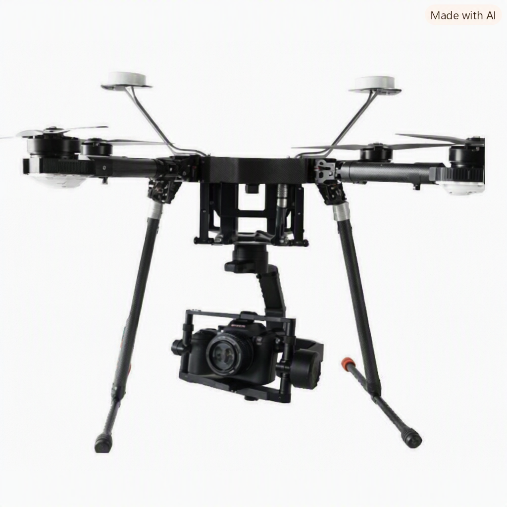
Specification
| Index | 9600-12 | 9600-14 |
| Spectral range | 405~850 nm | 405~850 nm |
| Band distribution | 405、430、450、480、510、530、550、570、650、685、710、850nm | 405、430、450、490、525、550、560、570、630、650、685、710、735、850nm |
| Spectral resolution | Superior to15nm | Superior to15nm |
| Multispectral Chromaticity Band Resolution (Single Lens Composite) | 3600 x 2200 | 2780 x 2650 |
| Number of spectral channels | 12 | 14 |
| Dynamic Range | 12bit | 16bit |
| Imaging lens | Auto focus | |
| F# | 6 | 5.6 |
| Effective focal length | 25mm | 21.8mm |
| H-FOV | 35° | 25° |
| V-FOV | 26.6° | 25° |
| D-FOV | 45.9° | 32.4° |
| Imaging speed | 20 bands/s | 20 bands/s |
| Lithium battery life | >6 h | >6 h |
| Data storage | SD Card(256GB,512GB optional) | |
| Data interface | USB3.0 | |
| Power supply | 12VDC,3A | |
| Visible light camera resolution | >800 CMOS | >750 CMOS |
| Flying platform | Customized version of long-time high-load large 6-rotor UAV | |
| PTZ | Three-axis DC brushless motor high stability gimbal | |
| Number of rotors | 6 rotors | |
| Take-off and landing mode | VTOL | |
| Wheelbase | 1500 mm | |
| Maximum load | 6 Kg | |
| Ceiling | 5000 m | |
| Drone size | 1650 X 1410 X 500 mm | |